Your cart is currently empty!
Ag Leader SMS Mobile Software
Map, keep records and layer data on the go

With Ag Leader’s SMS™ Mobile software, you can easily collect data in the field using any portable device such as a handheld, laptop, tablet or netbook. Use for mapping field boundaries, soil sampling, and crop scouting so you can make informed decisions for future farming practices.
Features:
- Boundary Mode – map field boundaries, including terraces and waterways, for accurate acreage.
- General Logging Mode – allows you to log point, line and polygon areas in the field for basic field scouting, tile line mapping and creation of management zones. Operator can log points manually or with GPS.
- Automatic grower, farm and field selection when using GPS.
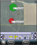
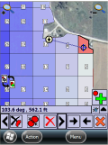
- Soil Sampling Mode – Create soil sample sites, and then easily navigate to those sites. Use drawing tools to divide sampling zones for specific area needs.
- Crop Scouting Mode – Log detailed information on field conditions (insects, weeds, diseases) and easily navigate back to exact locations.
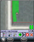
- Coverage Mode – Continuously log and record data for swath based coverage operations.
- Image Download – download satellite images for all your fields, and then use as background layers.
- View up to 4 layers simultaneously.
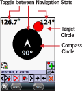
- Navigation View – quickly and easily navigate to specific locations in the field.
- Easily import and export shape files that can be used with other desktop applications.
- Printing – mobile files are printed to standard PDF files which are easily shared and printed or emailed.
- Seamless data transfer to SMS desktop software (SMS Basic or SMS Advanced)
- Backed by Ag Leader’s exceptional support team.


Martens Farms Return Policy